Nick Pan / Computational design

Design for
urban places.

I use data, code and spatial models to investigate how places work and explore how they could improve.

Selected work / 01–03

Selected work.

Three approaches to urban questions: spatial research, neighbourhood modelling and public-space data.

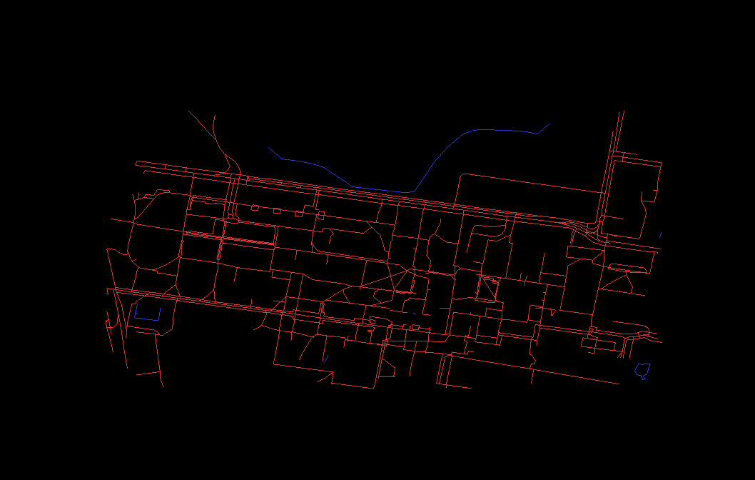
UNSW campus axial route network

Spatial research / QGIS / DepthmapX / Python

Graduation research / UNSW

Spatial analysis

How does campus layout relate to activity?

I prepared and analysed the campus movement network, compared spatial measures with class timetables, and built a web platform to communicate the findings.

Planning relevance

A starting point for campus planning, building-location studies and wayfinding discussions.
Explore the project
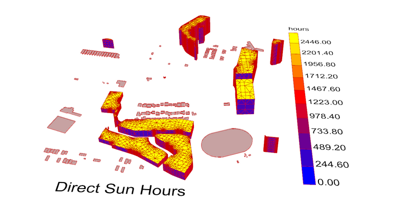
Direct sun-hours analysis showing coloured exposure patterns across building surfaces

Environmental analysis / Direct sun hours

Academic project / Urban design / Environmental analysis

Urban envelopes

How can development support its green space?

An adjustable neighbourhood model explores building mass, trees and park access. Three design directions and direct sun-hours analysis make the spatial trade-offs visible.

Planning relevance

A way to compare masterplan options while density, routes and green-space decisions are still flexible.

Explore the project
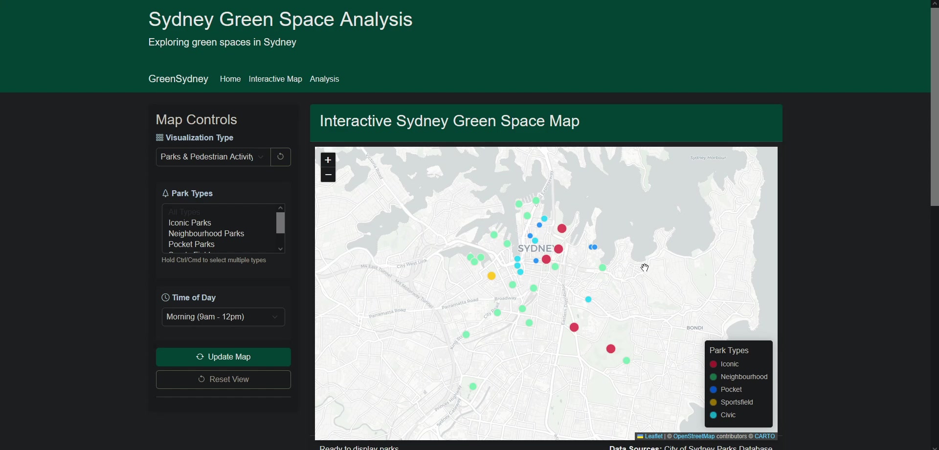
Sydney green space map showing park locations and filters

Spatial data / Python & Flask / Interactive mapping

Academic project / Urban data / Public space

Sydney green space

How can park data inform public-space questions?

A Python and Flask prototype brings park records into a map and analysis interface, combining filters, charts and park-specific contextual questions.

Planning relevance

A workflow for investigating park provision and identifying the movement and access evidence a team still needs.

Explore the project